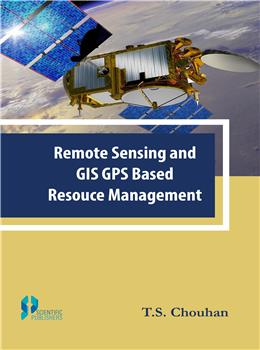
Remote sensing and Geographical Information System (GIS) offers an abundant opportunity to monitor and manage natural resources at multi-temporal, multi-spectral and multi-spatial resolution. This system is based on new tools and sources of information provided by modern technologies. These include Remote Sensing (RS), Geographic Information System (GIS) and Global Positioning System (GPS) are such technologies that are much more reliable, precise and efficient as well than any other resource assessment technology. These technologies give a visual impression of the landscape that helps to make quick decision in resource management. Satellite remote sensing, in conjunction with geographic information systems (GIS), has been widely applied and been recognized as a powerful and effective tool in detecting land use and land cover change. It provides cost-effective multi-spectral and multi-temporal data, and turns them into information valuable for understanding and monitoring land development patterns.
